A Small Craft Advisory is in effect for Biscayne Bay through 8 p.m. Wednesday, Oct. 21. The National Weather Service (NWS) also issued a High Rip Current Risk for Miami-Dade beaches through Thursday evening, driven by a storm-force low-pressure system off the Southeast coast.
The National Hurricane Center (NHC) in Miami said the non-tropical low formed Monday morning, Oct. 19, a few hundred miles offshore, according to the Islander News. The system was first noted Saturday afternoon, Oct. 17, the Islander News reported. The NHC's 8 p.m. Monday tropical weather outlook described the low as attached to an occluded frontal boundary.
The NHC gave the system a 40% chance of formation over the next seven days. If the low remains over the Gulf Stream and separates from the front, it could briefly acquire subtropical cyclone characteristics midweek, the NHC wrote. The system is expected to move northeastward away from the East Coast, and conditions should become unfavorable for development by the weekend.
Regardless of whether the system develops, the NHC said high winds, coastal flooding and dangerous surf are expected along portions of the East Coast through at least midweek.
What boaters need to know
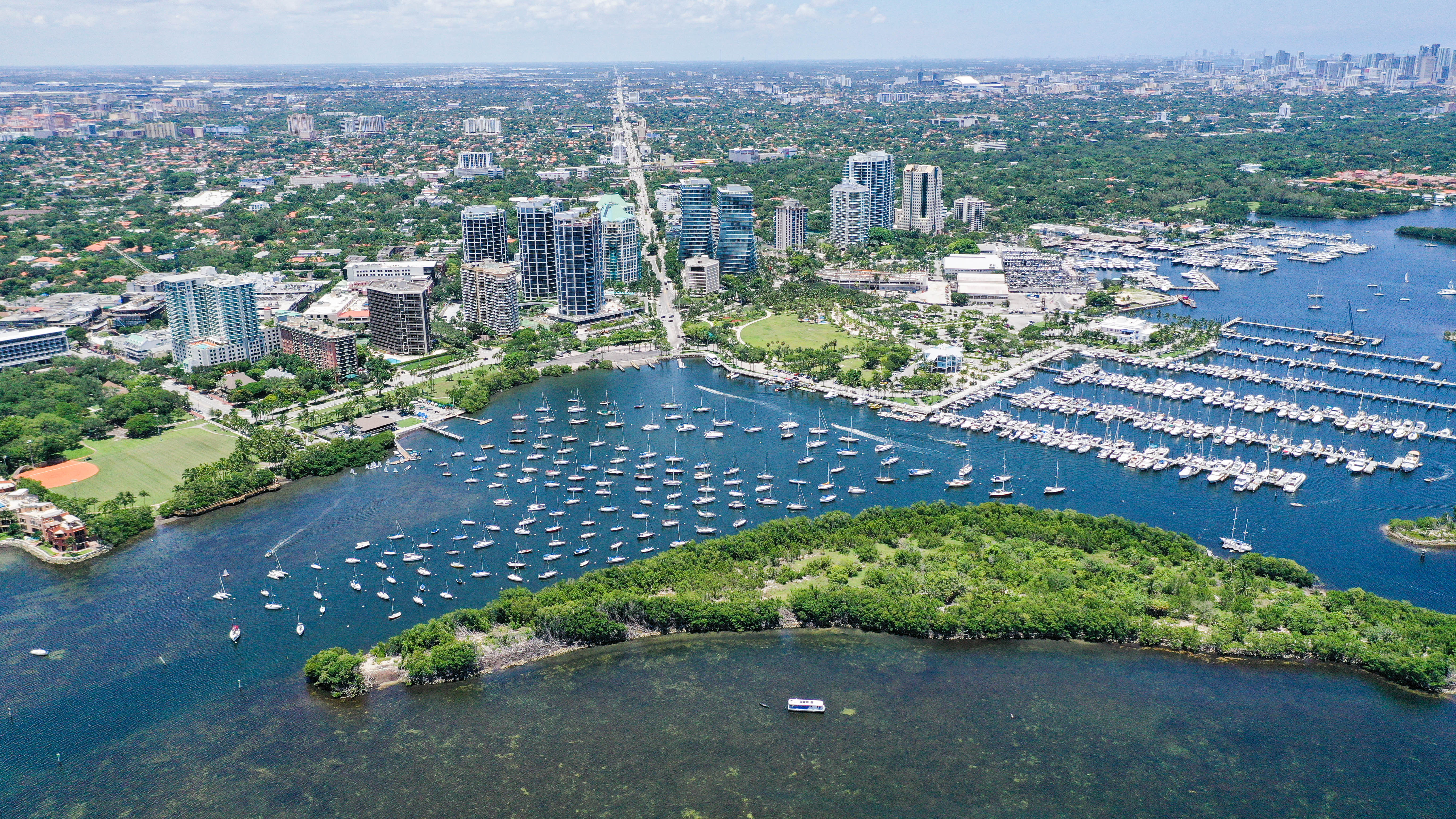
The NWS coastal waters forecast, issued at 3:51 p.m. Monday, placed a Small Craft Advisory on Biscayne Bay through Wednesday evening. Northeast winds on the bay were forecast at 20 to 25 knots Monday night, diminishing to 15 to 20 knots with gusts to 25 knots on Tuesday, Oct. 20. By Wednesday, winds were expected to ease to 10 to 15 knots.
Offshore, conditions are rougher. Atlantic seas from Deerfield Beach to Ocean Reef were running 7 to 10 feet, occasionally reaching 13 feet. Seas were expected to remain at 8 to 10 feet through at least Wednesday, according to the NWS area forecast discussion. Strong northeast winds of 20 to 30 knots with gusts near gale force were expected Monday before easing midweek.
Beach safety
The NWS issued a High Rip Current Risk for coastal Miami-Dade beaches through Thursday evening. The agency warned that life-threatening rip currents are likely in the surf zone.
The Town of Surfside posted an alert Sunday, Oct. 18, advising beachgoers to avoid entering the ocean during the advisory period.
If caught in a rip current, the NWS advises swimming parallel to the beach rather than against the current. If unable to escape, face the shore and call for help. Swim near a lifeguard.
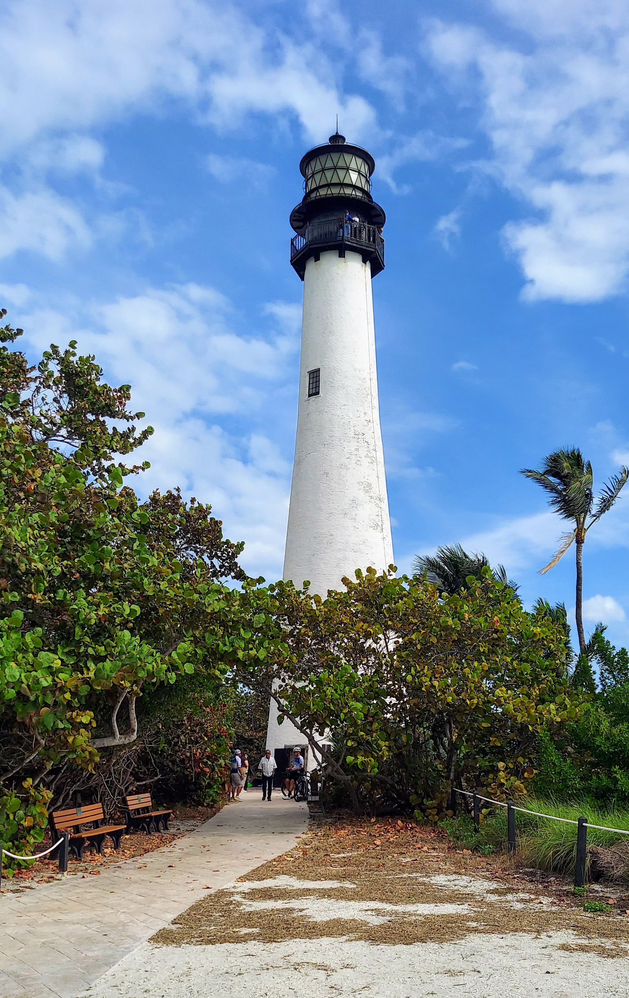
Key Biscayne forecast
The NWS forecast for Key Biscayne calls for windy conditions Tuesday with a high near 83 degrees, followed by a breezy Wednesday with a high near 83. Showers and thunderstorms become possible Thursday, when the high drops to about 82 degrees.
The Small Craft Advisory covers all local waters, including Biscayne Bay and Lake Okeechobee, through 8 p.m. Wednesday.